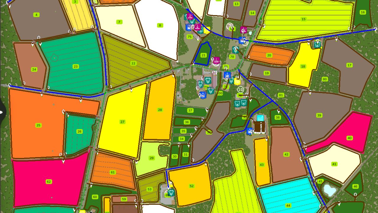
Full English Autodrive course, Road network mapped as primary routes with field accesses mapped as secondary routes including field boundaries. Fields grouped 1-9 10-19 Etc. sell/buy points etc. grouped into folders. All farms and productions areas have at least one navigable point but aren’t fully mapped and left for personal preference in layout.
Note:
The map has a large area of two-way primary network due to fields being accessed from single lane roads, please limit the number of vehicles using this area at any given time to avoid blockages. Northern Area has been mapped as a one way system to try and minimise traffic jams.
Required:
– Autodrive
– Klattenhof